

TRANSPORTATION
Transportation
The Upper Westside project aims to manage traffic effectively, encourage alternatives to driving, and address regional transportation issues for improved safety and convenience. The plan includes upgraded roads, better public transit, and new trail networks for pedestrians and cyclists.
Traffic studies show that vehicle use will be significantly lower than typical developments. The plan will be implemented in phases over a 20- year period, aligning with Sacramento County's smart growth goals.
Road Improvements
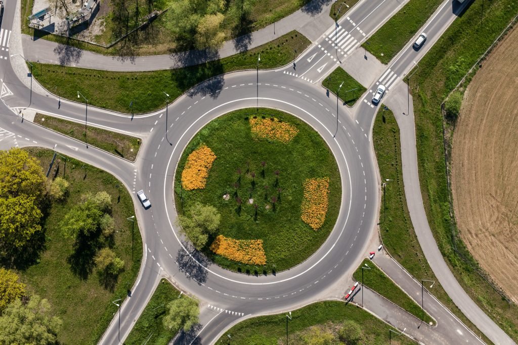
The Upper Westside project will construct or contribute funding to the following road improvements:
West El Camino Avenue would be extended westward to create a central street that improves travel across the area.
New roadway connections would be built to Garden Highway at Radio Road, San Juan Road, and Bryte Bend Road for easier travel between neighborhoods.
San Juan Road would be widened to meet County standards with improved lanes and shoulders, plus a new turn lane would be added at Garden Highway.
El Centro Road would be expanded to four lanes between Arena Boulevard and Farm Road, and to six lanes from Farm Road to West El Camino Avenue.
Powerline Road and Garden Highway would be widened to County standards, improving safety and reducing traffic congestion.

An alternative is proposed by the County to reduce traffic volumes and related safety concerns associated with traffic levels along Garden Highway. It would remove a traffic connection on Radio Road between Bryte Bend Road and Garden Highway, and implement traffic calming on San Juan Road between Garden Highway and El Centro Road.
Public Transit Improvements
Working with Sacramento Regional Transit, project applicants will improve public transportation by implementing a public transit plan designed to achieve frequent bus service (every 15 minutes during peak hours) for easy access by most residents.
Mobility-Friendly Community Design
Multi-use trails will connect neighborhoods, parks, and jobs, encouraging biking and walking.
More than 90% of residents will be within a half mile of shopping, schools, and parks, allowing for easy walking and cycling.
Commercial and employment areas totaling approximately 3.1 million sq. ft. will reduce the need to travel long distances for daily needs.

Intersection and Signal Improvements:
New traffic signals at Power Line Road/Bayou Way, and San Juan Ave/El Centro Road.
Upgraded intersections at West El Camino Ave/El Centro Road and Arena Blvd/El Centro Road.
Eastbound turn improvements at Arena Blvd/East Commerce Way.
New turning lanes at Garden Highway intersections with Radio Road and Bryte Bend Road.
Freeway interchange improvements, such as monitoring technology to reduce congestion at I-80/West El Camino Avenue ramps, reconstructing and widening the interchange, and widening the I-5 Southbound on-ramp.
New roads to Natomas Crossing Drive from Duckhorn Drive to El Centro Road.
Smart Growth Principles
The Upper Westside Plan is designed so that people will drive less — keeping vehicle use well below the regional average. It also embodies all of SACOG’s seven (7) Smart Growth principles, including those that would reduce traffic, air pollution, and urban sprawl by making communities more walkable, bike-friendly, and transit-accessible.
Sacramento County’s Climate Action Plan (CAP) was established to ensure the County’s compliance with the statewide greenhouse gas (GHG) reduction goals. The Upper Westside project would be consistent and comply with all applicable measures required by the CAP. The County’s analysis concludes that the project would not generate GHG emissions, either directly or indirectly, which will have a significant impact on the environment.